The Missouri-Mississippi Confluence: How to See It
The confluence of the Mississippi and Missouri Rivers have been a hub of civilization for a long time. A thousand years ago, the largest Native American city in North America flourished on the site known today as Cahokia. Centuries later, the city of St. Louis would sprout near that river intersection. Less than half a century after that, Lewis and Clark would make their famed trip through the confluence on their way west.
To this day, the confluence of the Mississippi and Missouri rivers represents a meeting of two of the most important rivers in North America. If you visit the area today, you’ll not only see nature in action, but also commerce, including barges pushing goods up and down the river.
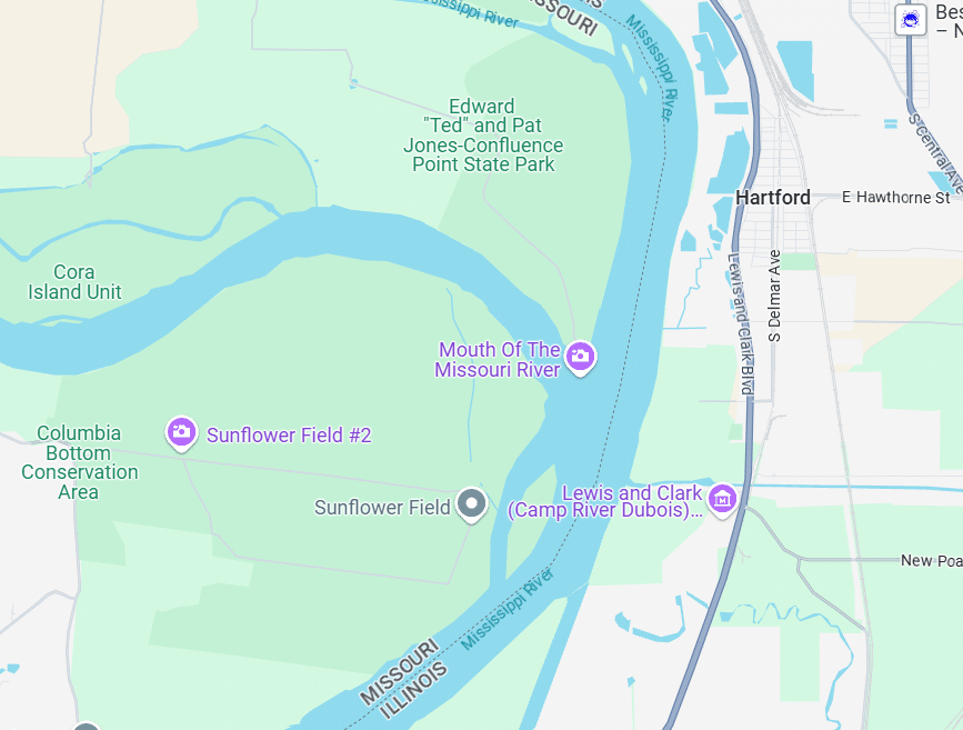
In the St. Louis metro area, there are currently three major locations to see the Mississippi-Missouri confluence. They are:
- Edward “Ted” and Pat Jones-Confluence Point State Park in eastern St. Charles County, Missouri
- Columbia Bottom Conservation Area in the eastern part of North St. Louis County, Missouri
- A trail next to the Lewis and Clark State Historic Site (Camp River DuBois) in Hartford, Illinois
Let’s look at each of them.
1. Edward “Ted” and Pat Jones – Confluence Point State Park
Getting There
Confluence Point State Park sits on the eastern edge of a stretch of St. Charles County that runs north of St. Louis County, east of West Alton, Missouri, and south of the Illinois towns of Alton, East Alton, and Wood River. (Google Maps link — note that this is the park entrance, which is still roughly 2 miles from the parking lot.) Most travelers will take I-270 to U.S. 367 North, which merges with and turns into U.S. 67.
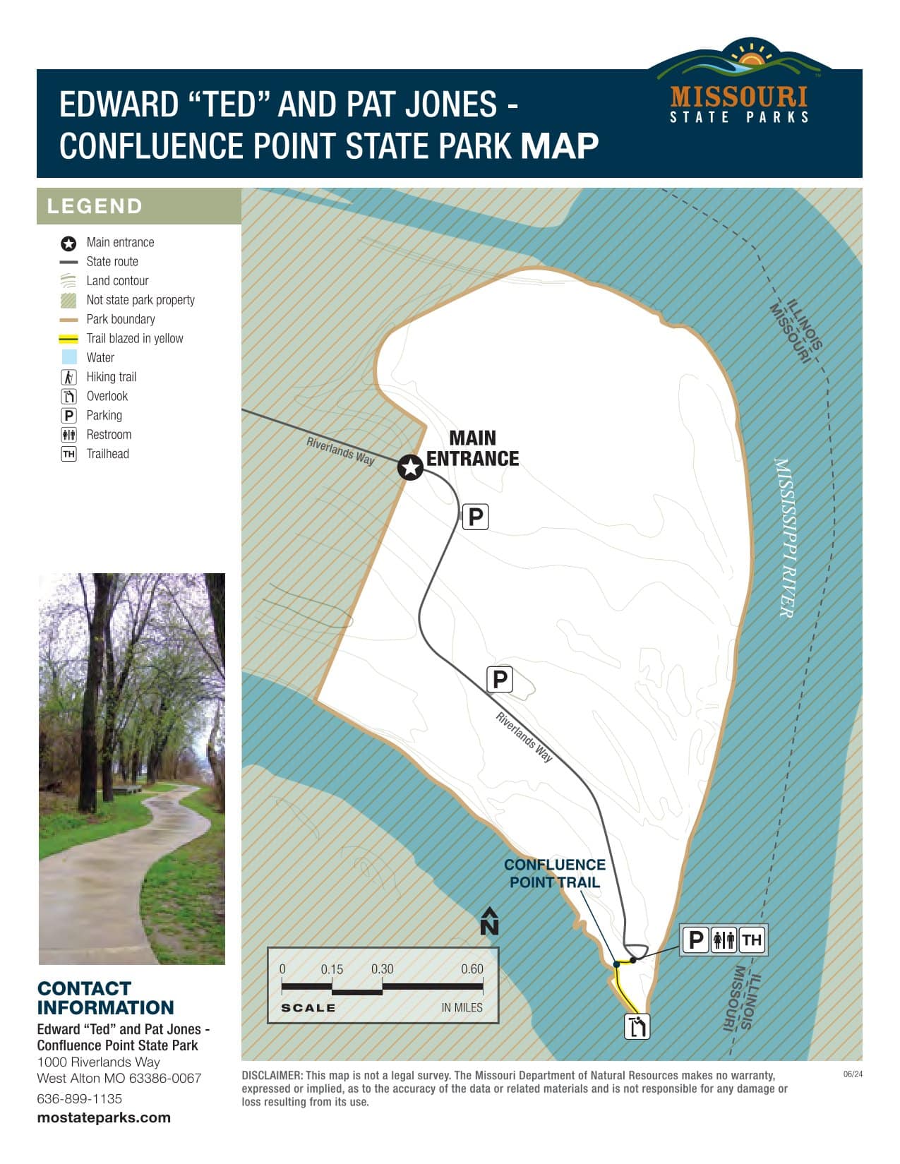
The park is accessible through a lone road, Riverlands Way, which is off of U.S. 67 right before the cabled Clark Bridge leading into Alton, Illinois. It’s about 15 minutes (6 1/2 miles) by car from Highway 67 to the Confluence parking lot, most of it on gravel road.
Parking
Most of the parking at the park is gravel, with a few paved handicapped spaces. There is plenty of space to park, and I’ve never seen more than a few cars here at one time, so parking should rarely, if ever, be a problem.
Costs and Considerations
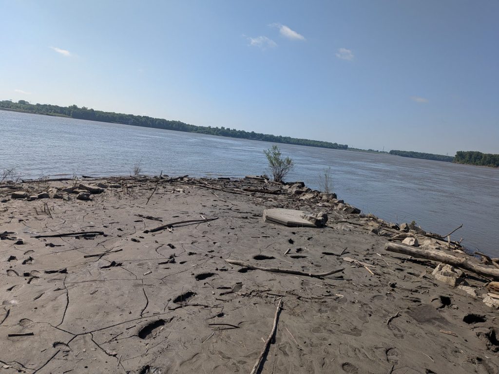
There is no cost to go to Confluence Point. However, it’s a good idea to check on the state of the park before you go. Confluence has suffered intermittent flooding over the years that has at times damaged the park or made it impassible.
Things to Do
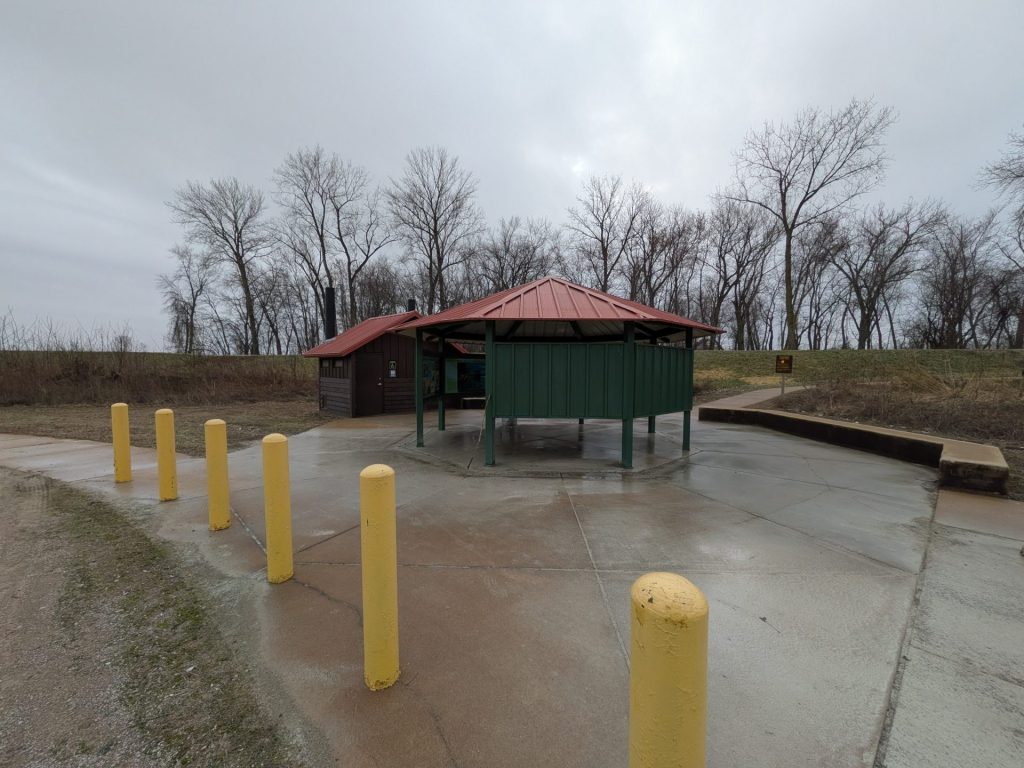
There are vault restrooms as well as a small interpretive display at the parking lot. From there, it’s about a 0.3 mile hike to the confluence point, which will take you through a thinly-wooded path to the point. The path is part gravel and part paved. Because the path can get muddy — including standing water after rain — it’s good to prepare accordingly.
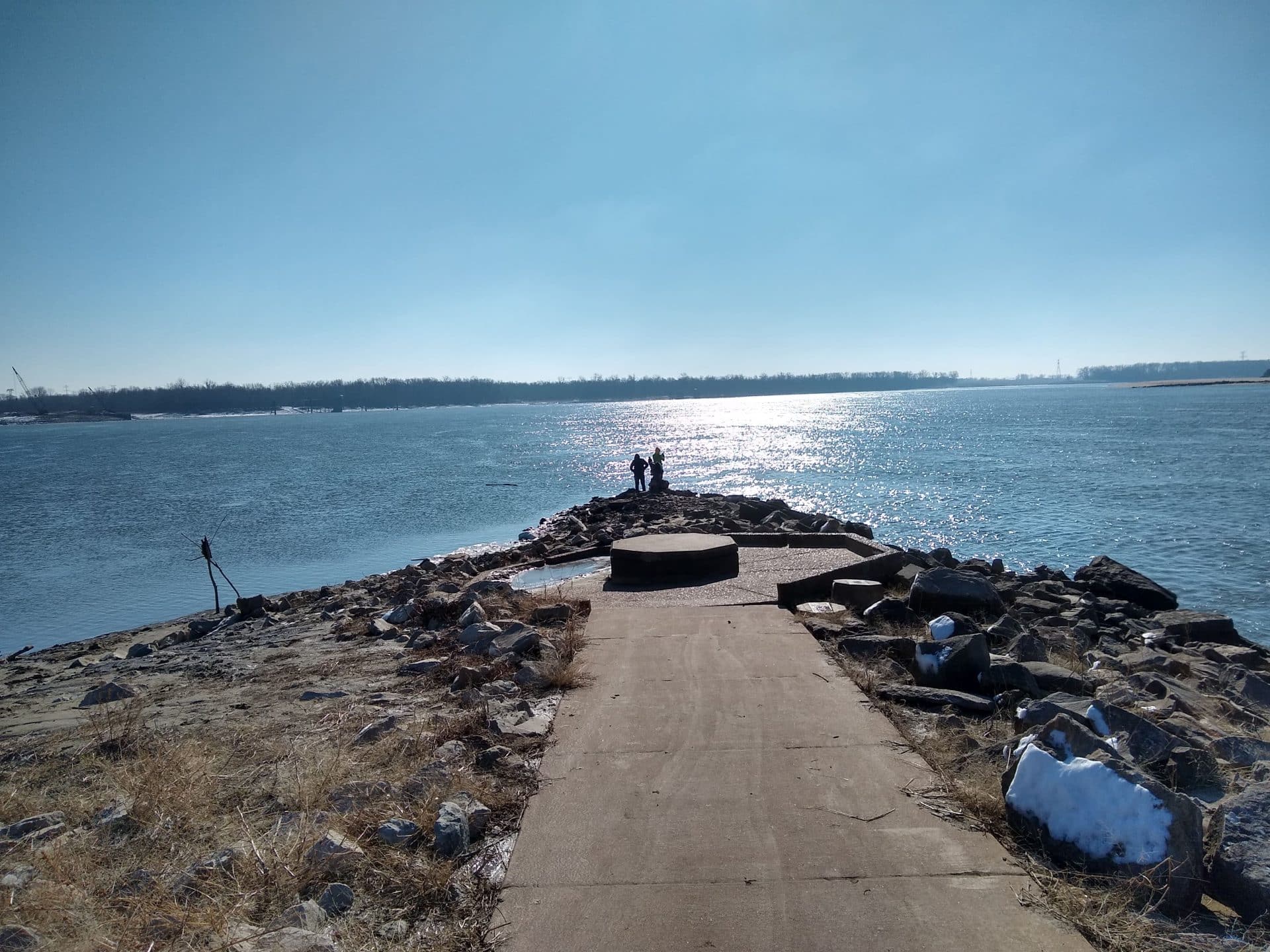
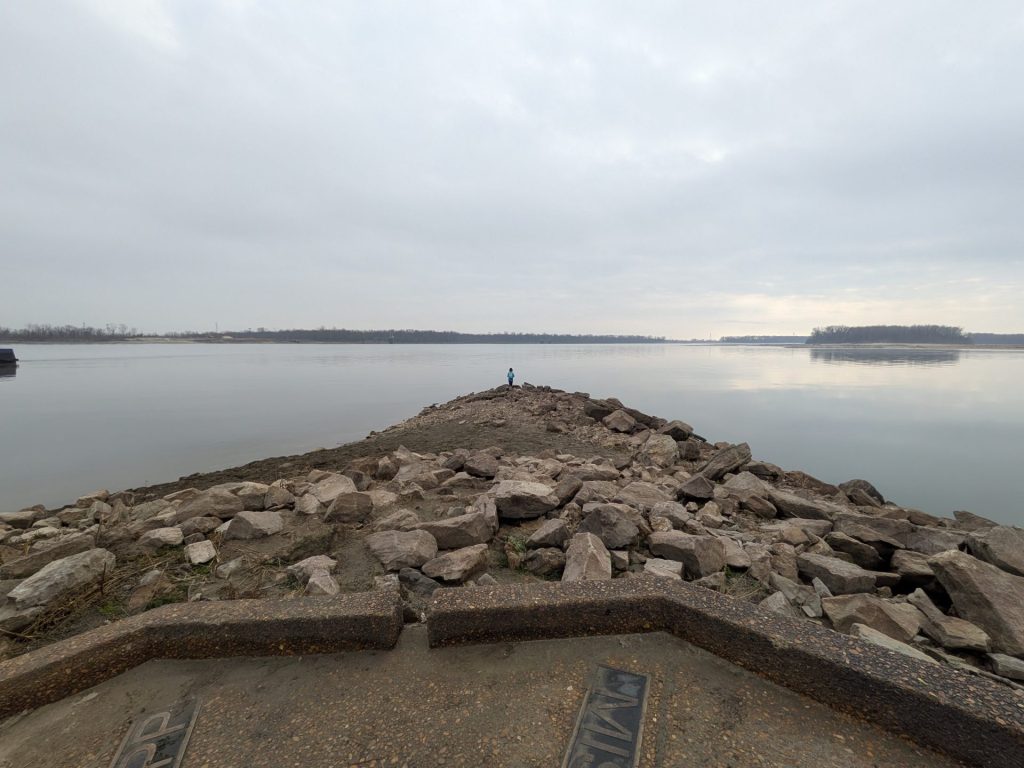
Beyond that, the primary attraction is a small peninsula where you can stand right at the dividing line of the Missouri and Mississippi, closer than any other point in the area.
2. Columbia Bottom Conservation Area
Getting There
Columbia Bottom sits on the eastern side of unincorporated North St. Louis County (Google Maps link to the entrance). For the majority of visitors, the most direct route will be to take I-270 to Riverview Drive, then head north on Riverview about 5 minutes (3 miles) to the conservation area entrance.
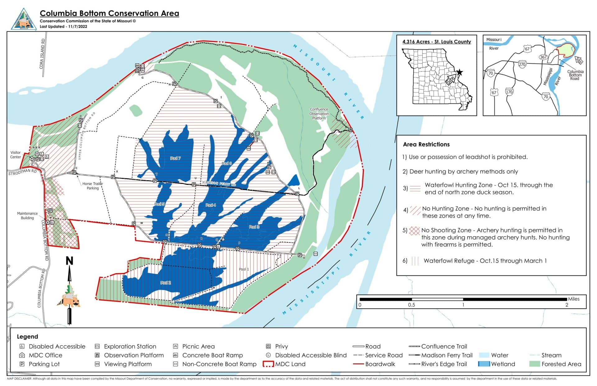
As of 2025, the nearest parking lot to the confluence point is Parking Lot L (approximate Google Maps link), located on the east side of the conservation area. It’s several miles of paved and gravel road to reach the parking lot from the area entrance.
Parking
There is a modest gravel parking lot near the confluence point. It’s rarely busy so it’s usually easy to find a spot.
Costs and Considerations
Access to Columbia Bottom is free, as is parking.
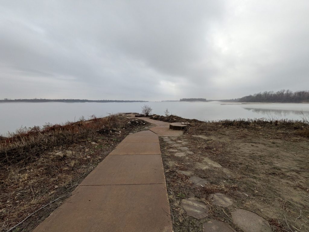
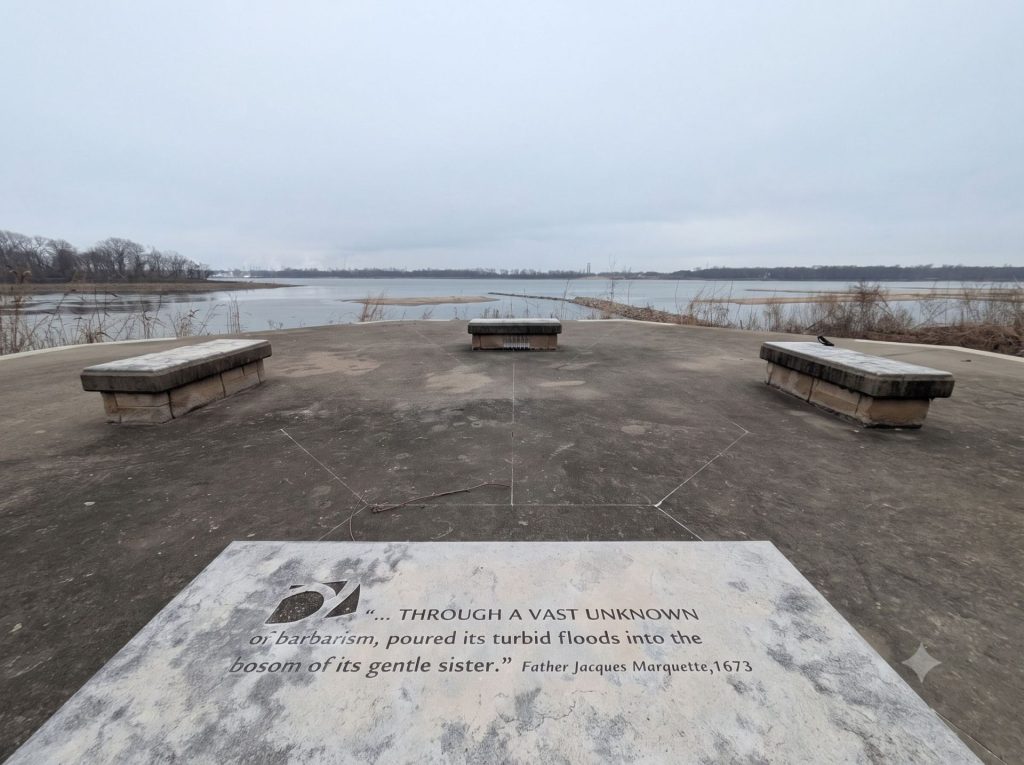
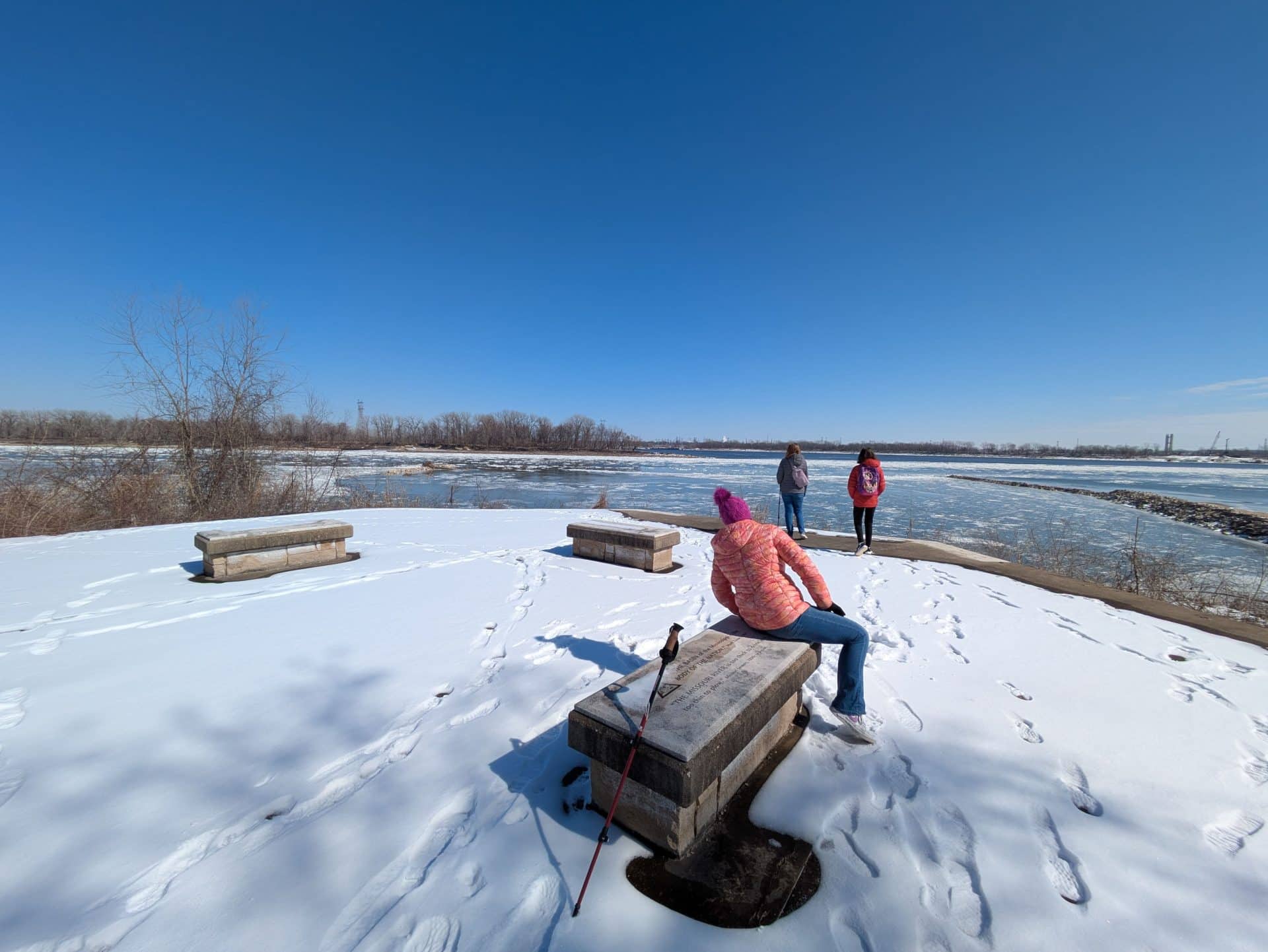
In 2019, catastrophic flooding damaged the area in and around the area’s confluence point. Initially the area was difficult to access outside of bushwhacking through rugged, overgrown terrain. As of 2025, the situation has improved somewhat, but access still requires some work. You can find updates on the damage at the Columbia Bottom website.
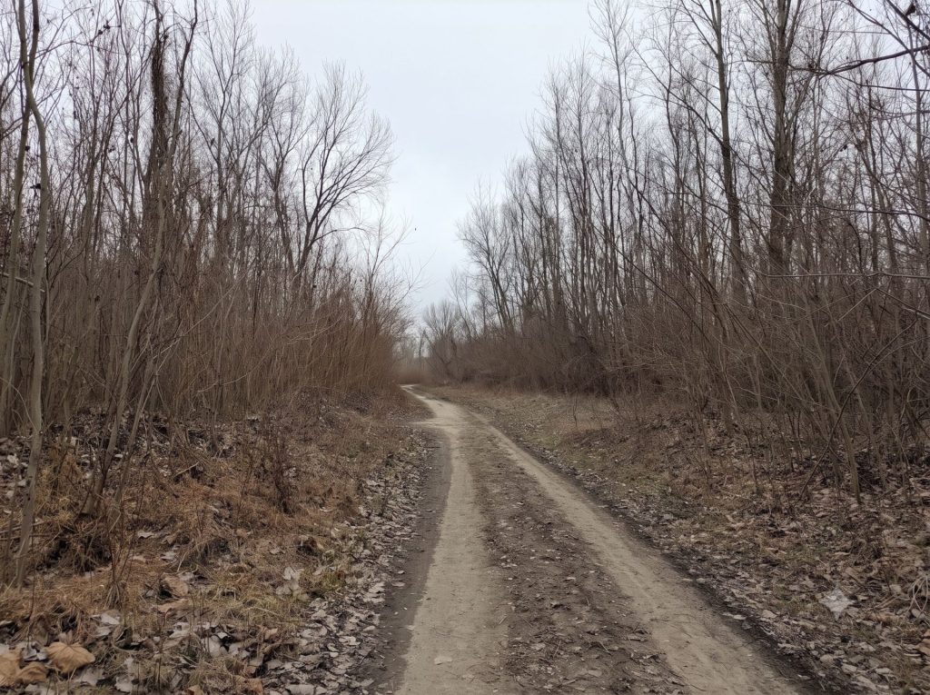
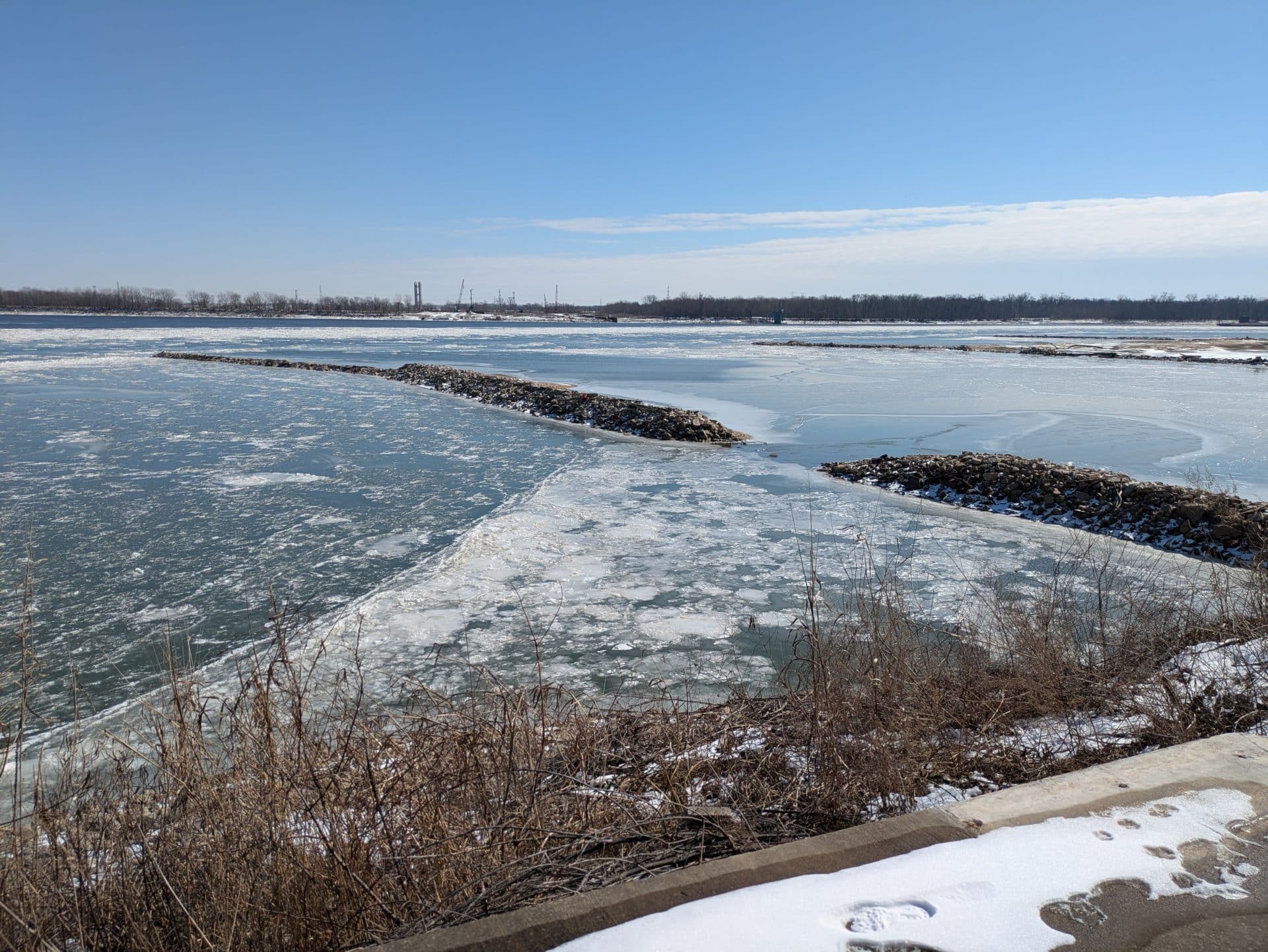
The work starts with getting to the parking lot, as some of the roads in the middle of Columbia Bottom are closed as of 2025. You may have to detour around the south side of the area to reach Parking Lot L, which is nearest to the confluence. From Lot L it’s approximately 1 mile on foot to the confluence through roads that have improved since in recent years but may still be subject to the elements, including snow, water, and mud. The confluence point, while accessible, is still damaged from the flood and it’s unclear when any repairs might be done.
Things to Do
Columbia Bottom offers a number of activities, including bird-watching, hiking, and, in some parts of the area, hunting. It’s also home to sunflowers during parts of the year, which draw photographers and sightseers. The area also has a visitor’s center, which was closed when we visited in 2025.
The confluence point is, of course, a notable point of interest.
Lewis and Clark State Historic Site (Camp Dubois)
Getting There
This is arguably the easiest of the three to get to. This state historic site sits just off of Illinois Route 3 — known in that area as Lewis and Clark Blvd. — in Hartford, Illinois (Google Maps link). The exit from Interstate 270 to Route 3 is just across the border from Missouri. The site can be found about 3 miles north of Interstate 270 right off of Lewis and Clark Blvd.
When you turn onto Lewis and Clark Trail Road, you can either go left or right. Left will take you to the state historic site. Right will take you along a road that curls around to a second split. At this second split, you can turn left onto Levee Road, which will head south, or continue straight down on Lewis and Clark Trail Road before dead-ending at a gate.
Parking
There is a gravel lot right next to the trail road. There’s also a paved parking lot farther up near the state historic site.
Costs and Considerations
Technically there are two places along this stretch to see the confluence. One of them is a paved road at the historic site that leads to a confluence viewing area. The road is marked for car traffic, including parallel parking farther down, but a gate is currently closed so you have to walk about a half mile to get from the nearest gravel lot to the confluence.
A second location can be found at the Lewis and Clark Confluence Tower, about a mile north of the Lewis and Clark State Historic Site. The Tower, though, charges a fee for admission and additionally is closed for renovation until 2026.
Things to Do
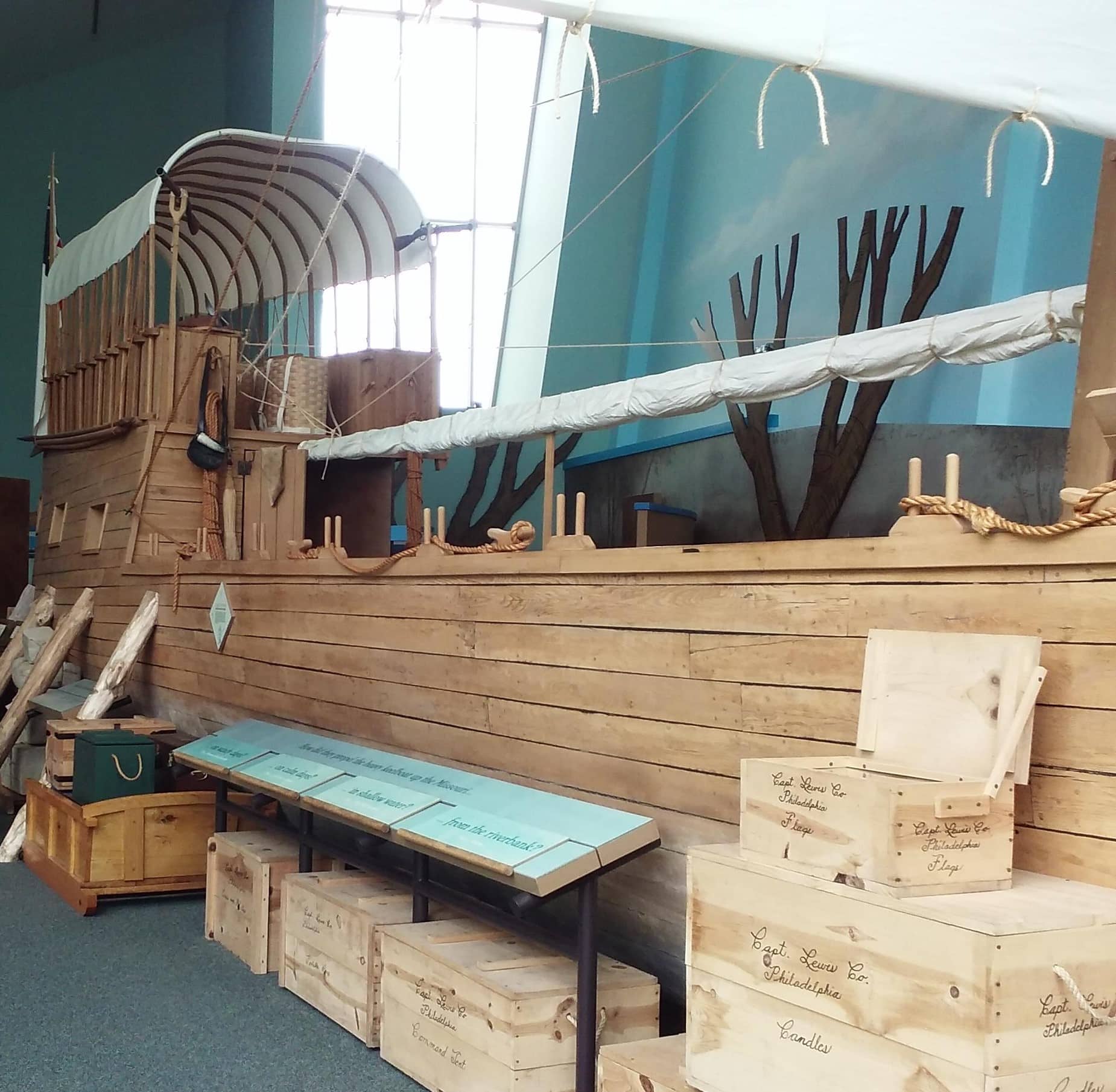
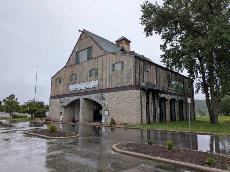
The confluence at Lewis and Clark is one of a number of activities available there. The historic site also has a robust museum that includes a replica of Lewis and Clark’s boats and equipment, as well as a recreation of primitive housing on the grounds. The site is free to visitors.
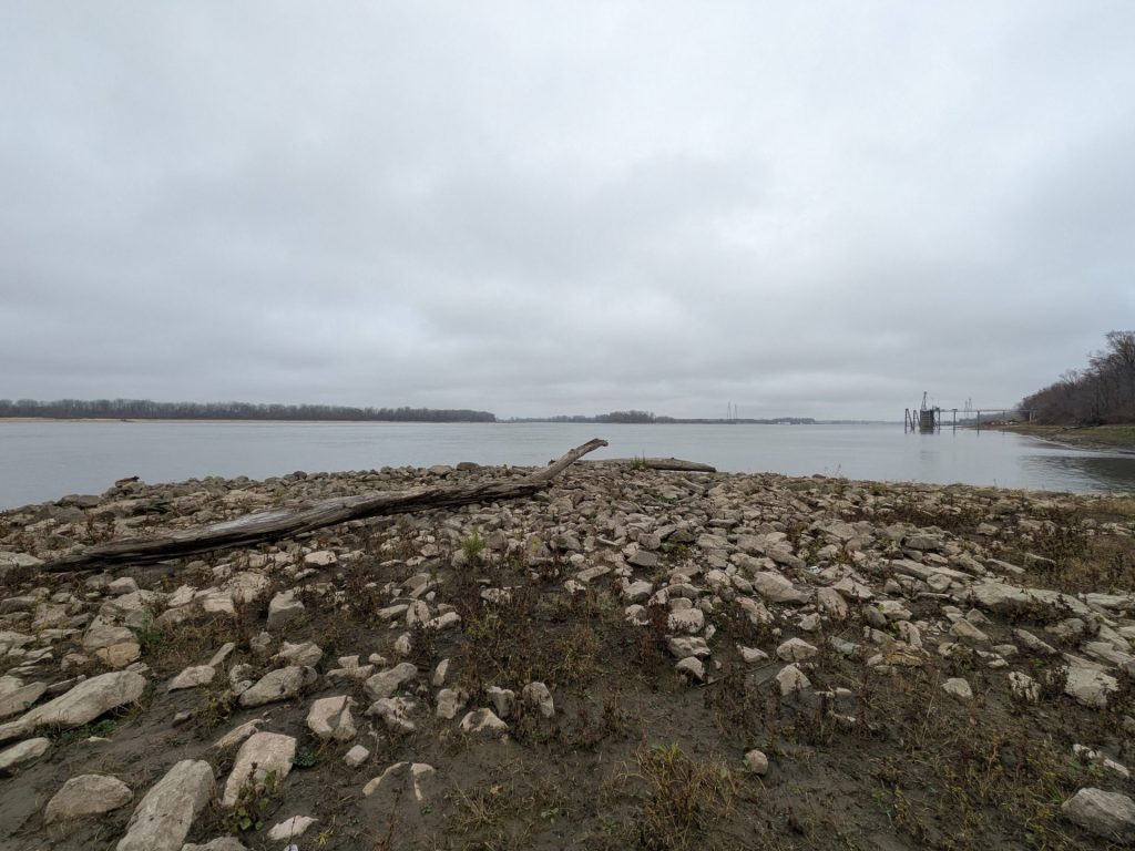
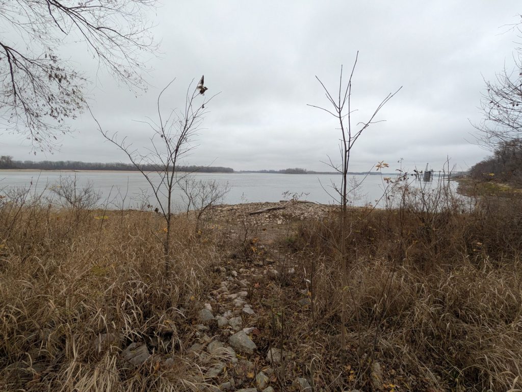
Of course, if you want to see the confluence that’s readily available. You’ll walk down a road to a round turn-around that offers a higher view of the confluence. You can also pick your way down a water trail to a rocky beach that gets you closer.
Our Thoughts
We’ve visited all three of the confluence sites multiple times over the years, so we have our preferences.
If you’re looking for the most close-up experience, our pick is Edward “Ted” and Pat Jones -Confluence Point State Park. It’s a bit of a drive to get to, but — assuming the roads are passable — it’s right there on the water. You won’t get any closer to the Missouri and Mississippi together than here. There isn’t a lot else to do there, though.
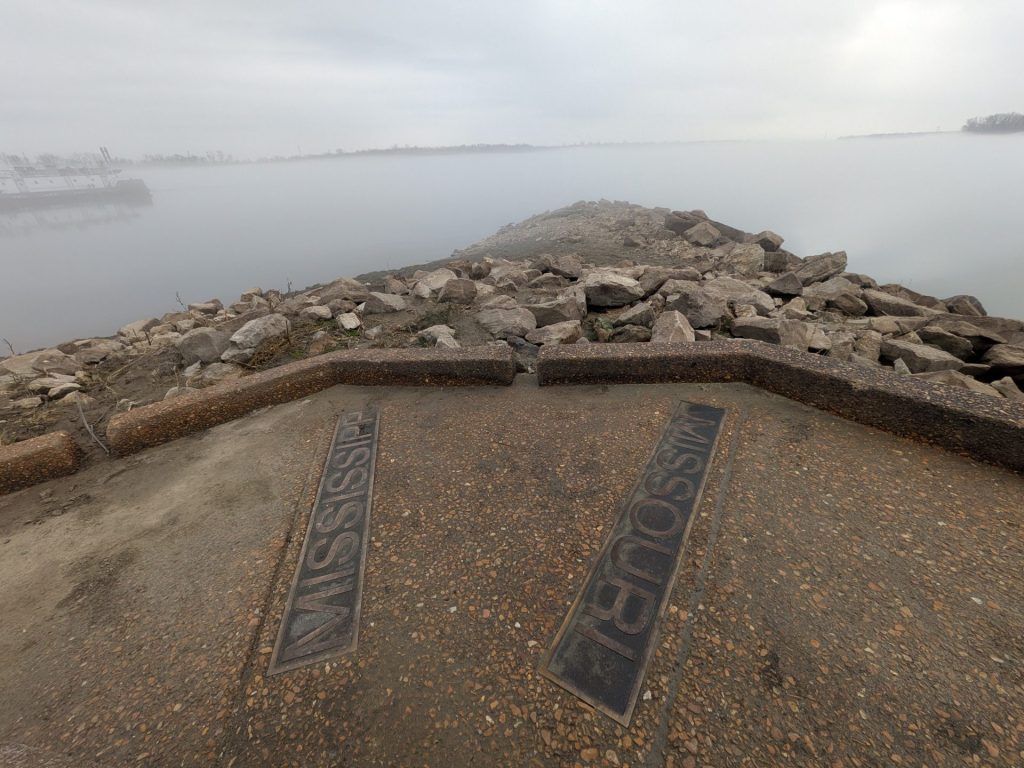
If you’re looking to hike and for more of a nature experience, Columbia Bottom Conservation Area is a good bet. The confluence view is still good (you can see Confluence Point State Park in the distance) but you can also experience a lot of other nature there, too.
On the other hand, if you’d like some history to go with your confluence observation, the trail near Lewis and Clark State Historic Site is the winner, as the adjacent museum is full of information and recreations of all things Lewis and Clark. The view of the confluence here is the most distant of the three, though.
That said, all of them have their virtues and are worth a visit if you can.