Route 66 State Park: Nature and History on the Former Site of Times Beach, Missouri
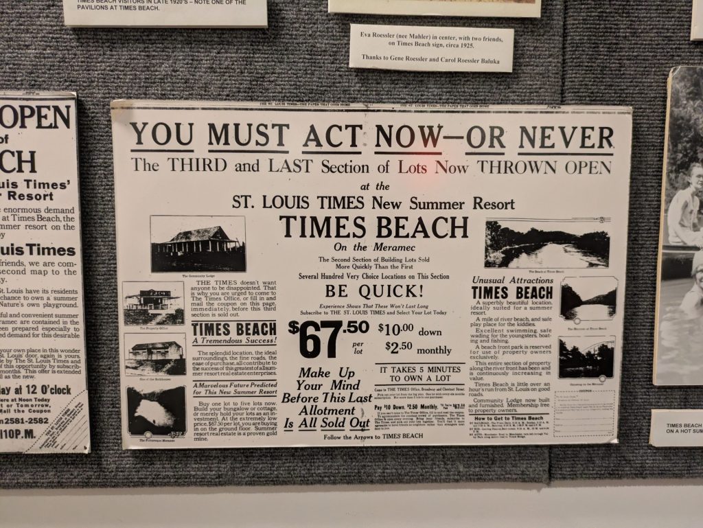
Times Beach, Missouri sprung to life in the early 20th century as a resort town. In time it evolved into a low-income residential community. Located along the Meramec River, the town was prone to flooding, but also was cash strapped enough that it could not afford to pave its roads, leaving residents to drive along dirt. The dust, though, was a nuisance for residents.
In 1972, a local oil hauler named Russell Bliss seemed to have the answer: spraying an oil mix on the roads to tamp down the dust. What the town’s residents did not know was that Bliss’s mix was a combination of used motor oil and chemical waste from a factory. The chemical waste contained dioxin, a dangerous toxin that can cause a range of terrible effects in humans and animals, from chronic illness to cancer. This part of the story is personal to me: I was friends for many years with a Times Beach survivor who fought various cancers over the years before finally passing away in 2023.
A decade after Bliss sprayed the, the EPA began testing the area and concluded that the town was no longer safe to live in. The city was evacuated and disbanded, and the land was used for dioxin cleanup efforts. In 1997, the area was repurposed as a state park, one that you can visit.
Getting There:
Route 66 State Park is located off of I-44 just a few miles east of Eureka. Most people in St. Louis County can get there by taking I-270 to I-44 West. If you live in St. Charles, you’ll likely take I-64 to MO-109, then head east on I-270 a short distance.
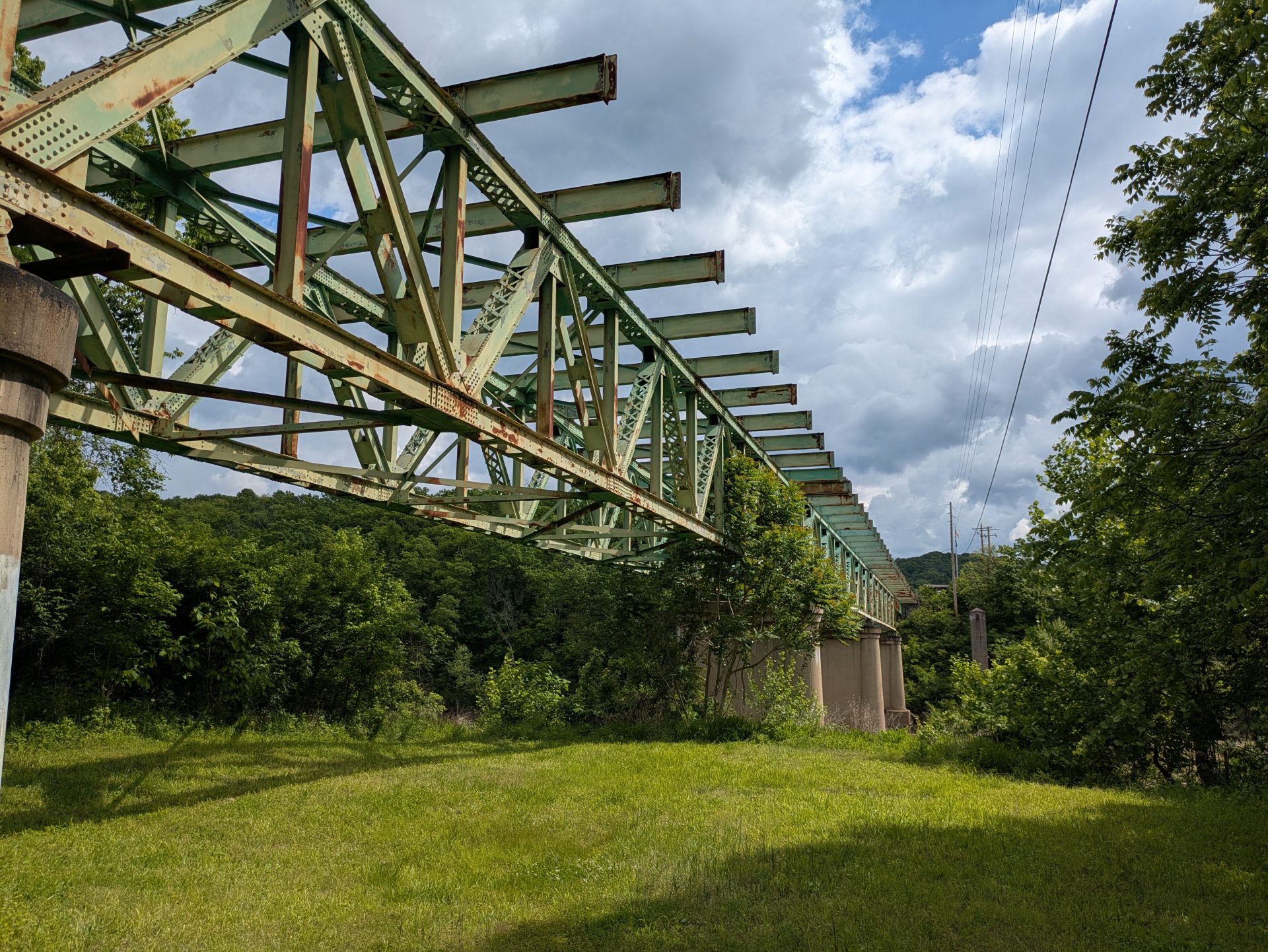
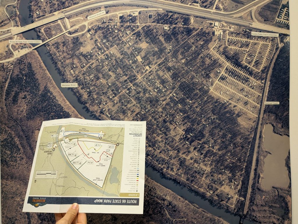
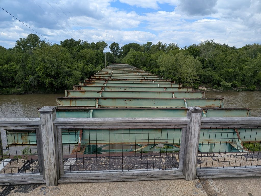
It should be noticed that the state park is actually three distinct locations spread across two different highway exits. The first is the park’s visitor’s center, the second is the main park, while the third is the south area. The visitor’s center is separated from the other two areas by the Meramec River – and the bridge over the Meramec is currently closed – so the only way to get between the visitor’s center and the other two parts of the park is to get in the car and drive on the highway to the relevant exit.
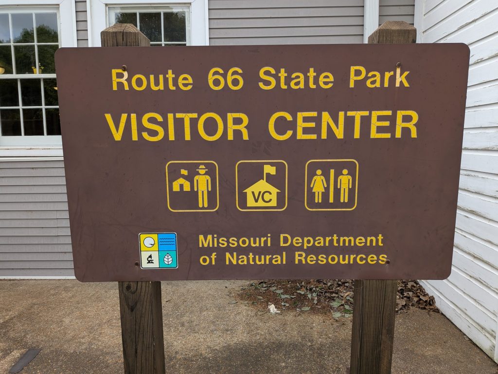
To get to the visitor’s center (Google Maps link), you exit at Lewis Road, then head north before turning left onto the outer road, which runs right to the building.
Getting to the main park (Google maps link) and south loop (Google Maps link) is trickier, as there is no exit on westbound I-44. Instead, if you’re coming from St. Louis County, you’ll want to exit at 109, turn left, then get back on I-44 before exiting a mile later at Williams Road, which curves sharply to the right. From there, drivers make a left on S. Outer Road. The south area entrance will be on your right.
Alternatively, if you’re headed to the main park, continue along S. Outer Road until it reaches a T, then make a left onto S. Outer Road, then a right onto N. Outer Road. The park will be on the right.
Of note: Google Maps sometimes gets it right, and sometimes doesn’t. When I first mapped the main park, it wanted me to go to the visitor’s center and then walk to the main park … which is impossible, as it would require me swimming across the Meramec. If you’re coming in from St. Louis on I-44 West, there are highway signs which will help you get where you need to get.
Parking:
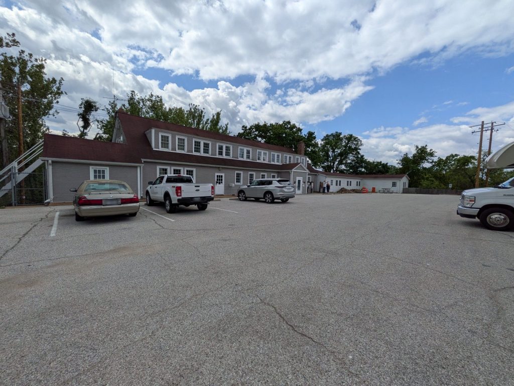
All three areas – the visitor’s center, main park, and south area – all have parking lots. None of them is large, although we’ve never found any of them to be particularly busy during our visits. Parking, as you would expect, is free.
Costs and Considerations:
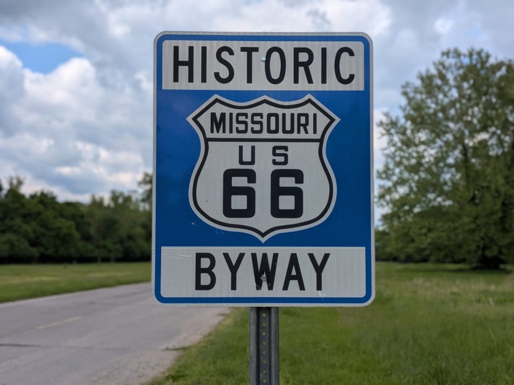
The visitor’s center is open March through October from 9 a.m. to 4 p.m. every day. The visitor’s center is closed all of November through February except for the second week of December, when it is open all week.
The park grounds are open from 7 a.m. to a half-hour after sunset every day.
There are no costs to visit the park or the visitor’s center.
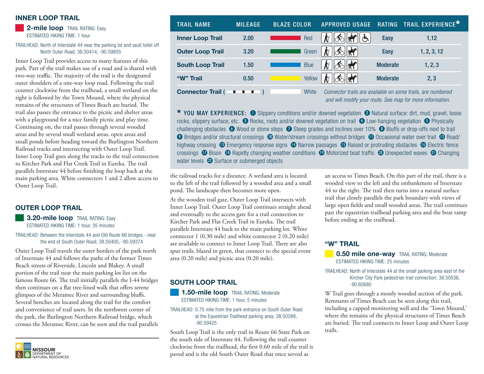
One other note: all of the trails in the park are approved for walking, biking, and horseback riding.
Things to Do:
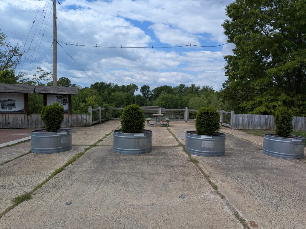
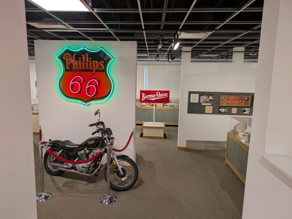
The visitor’s center is situated inside of an old restaurant. The center offers a detailed museum showcasing both the historic Route 66 as well as the history of Times Beach.
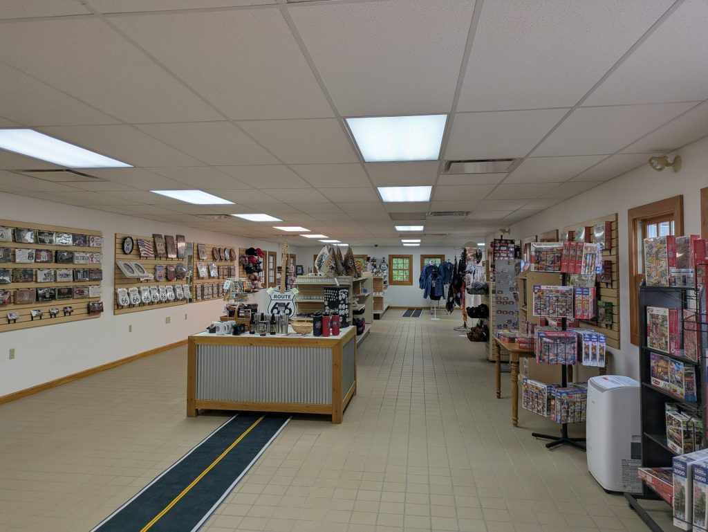
The center additionally houses a large gift shop filled with Route 66 memorabilia.
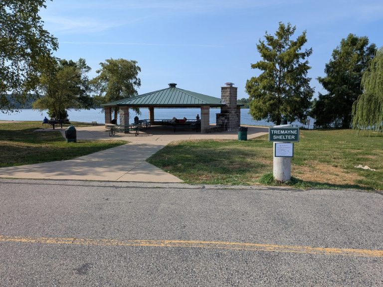
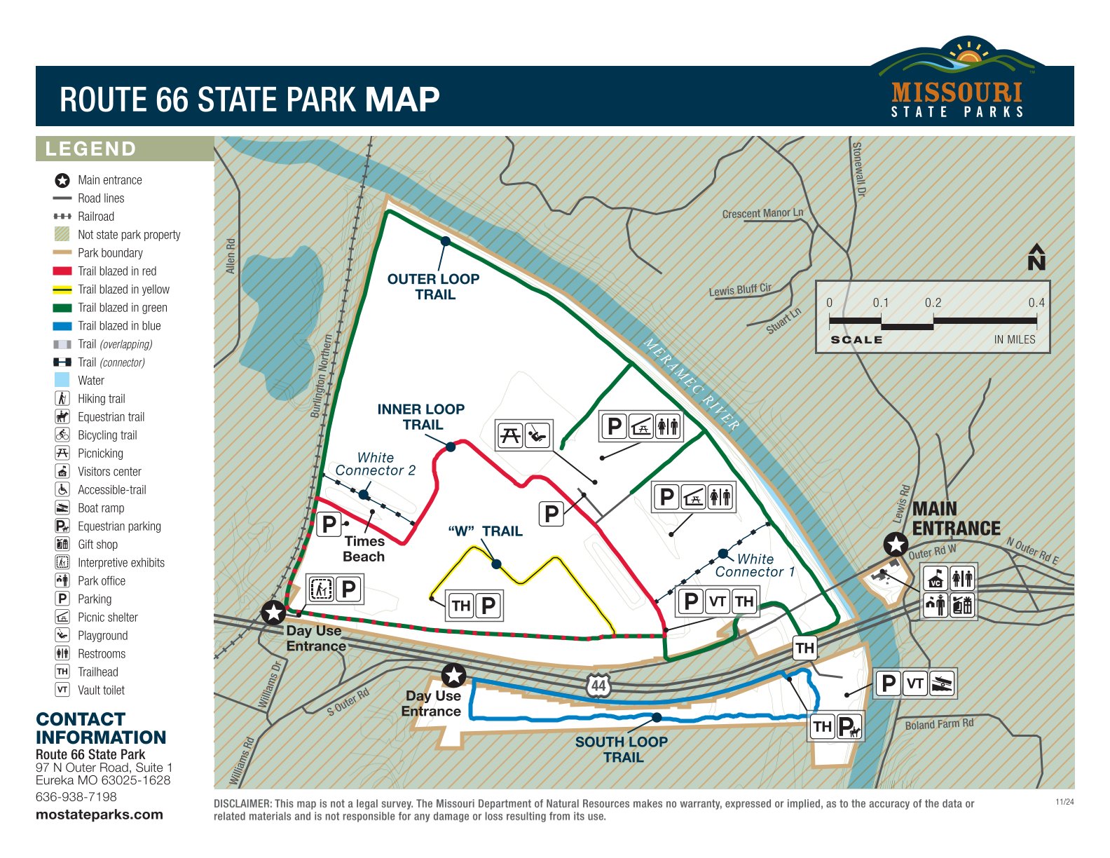
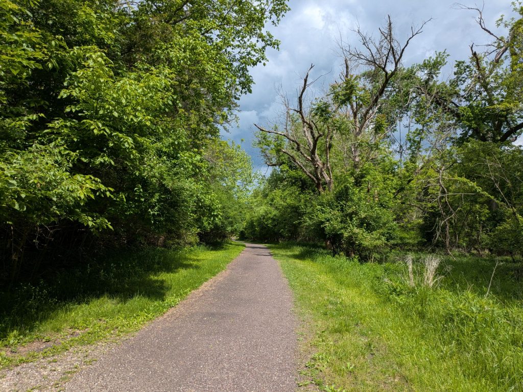
The main park is the largest stretch of land in the park. There are miles of trails here — some paved, some gravel, some dirt — mostly built over the infrastructure of the Times Beach road network. You can also find day use pavilions and vault toilets.
If you hike in the main park, you’re liable to find remnants of the old town at different spots.
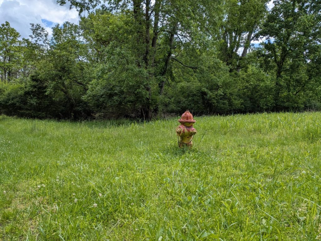
One of the more unusual paths in the main park is a stretch just south of the main parking lot that runs west straight into what used to be an on-ramp to I-44. The road is closed to car traffic now, but you can walk the pathway straight onto the interstate. For obvious reasons, we recommend not walking too far out.
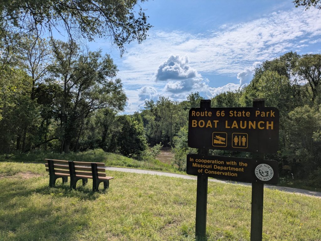
The south area – the only part of the park south of I-44 – consists of a simple 1.5 mile loop, along with a nearby boat launch onto the Meramec River.
Our Thoughts:
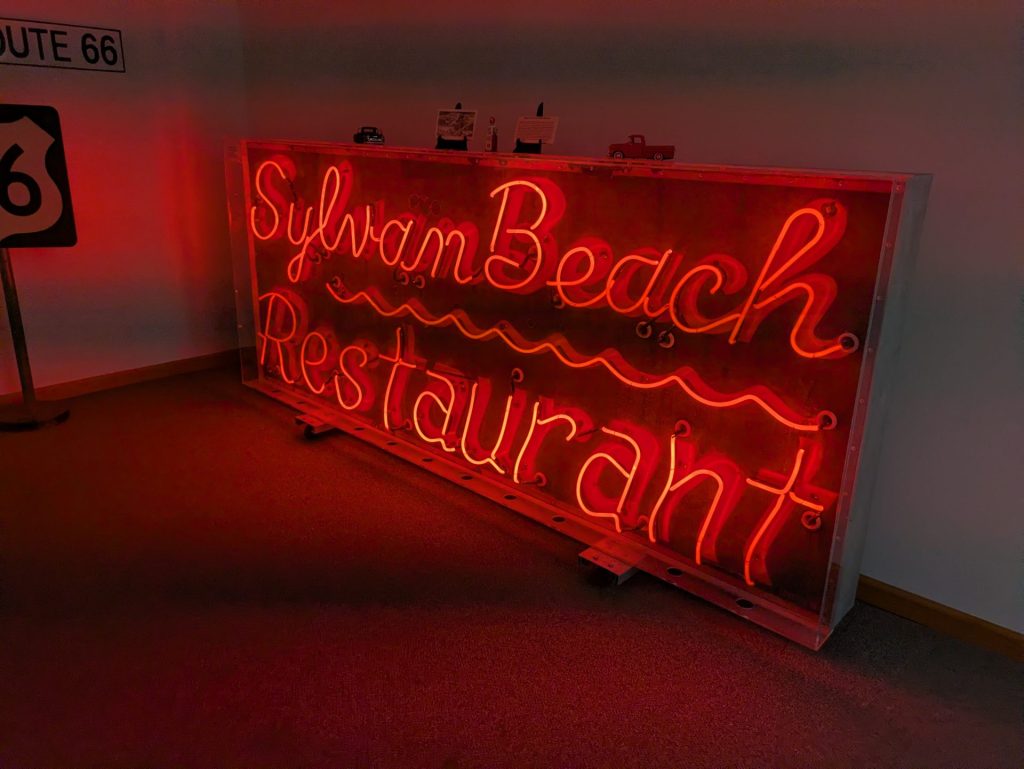
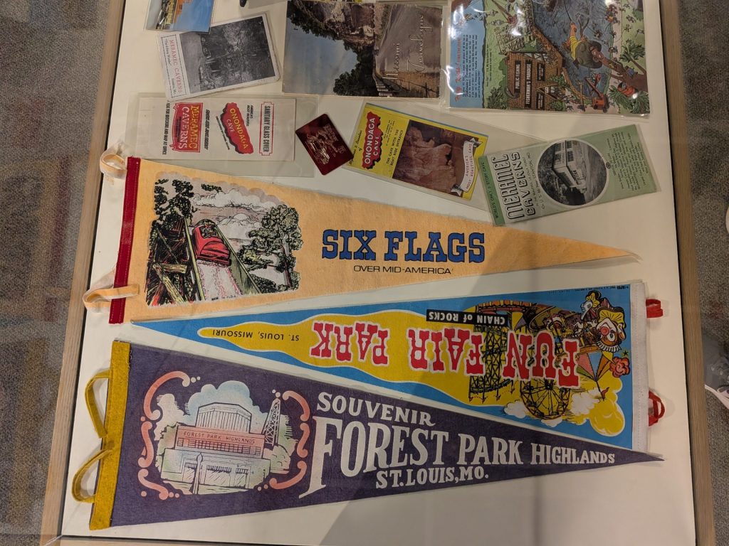
We’ve visited Route 66 State Park several times over the years. We like the visitor’s center, which combines the lively history of Route 66 with the interesting and ultimately sad story of Times Beach. The interpretive displays, mixed in with memorability, makes for a worthwhile museum experience. We’ve also been struck by our interactions with the staff, who have shared their personal interactions with former Times Beach residents.
The other parts of the park are cool, too. The main park offers scenic views that include, hauntingly, the places where the town’s houses were buried. It’s a nice place to get out and stroll, even if at times it is a somber park.
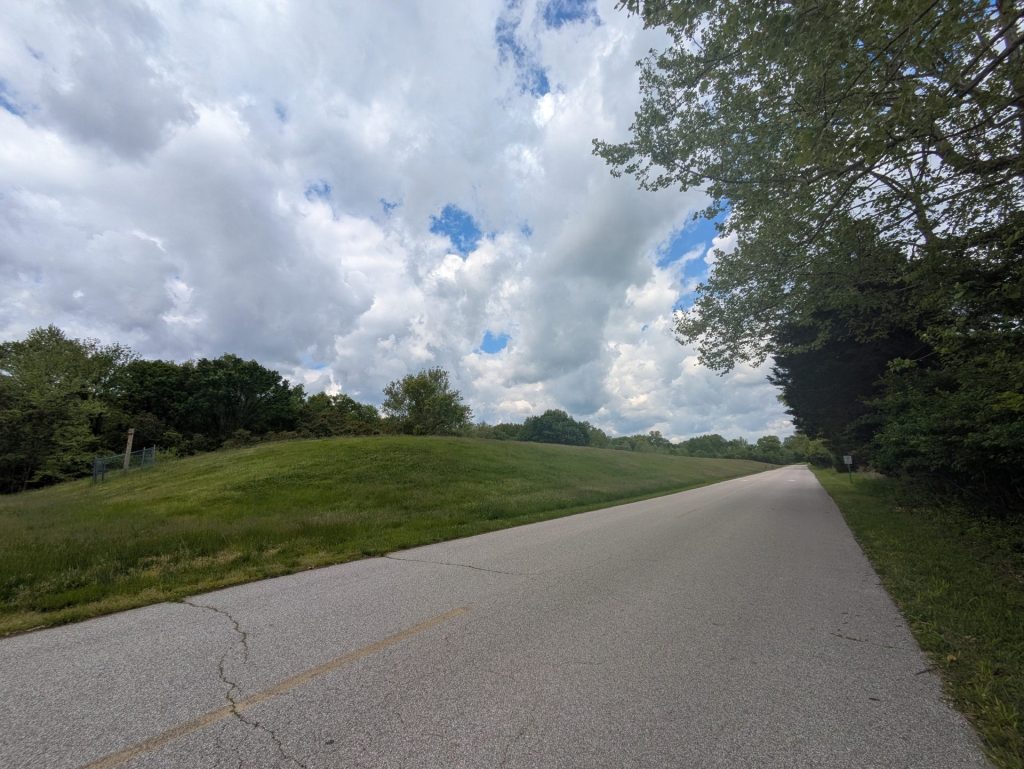
The south loop is more basic, but it’s also a nice changeup.
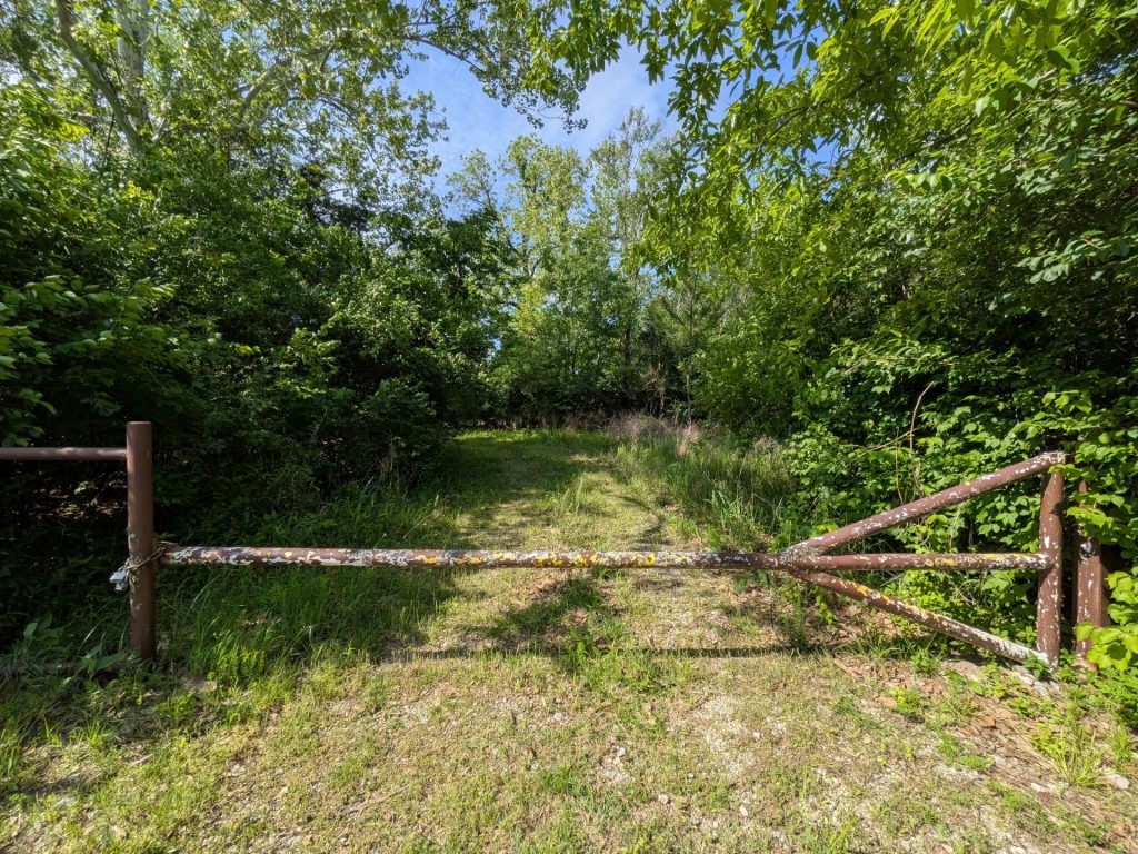
Our big gripe right now is access. The lack of a functioning bridge, even a pedestrian one, between the visitor’s center and main park makes for a hassle. The same goes for the exit situation to the main park and south area, which requires westbound I-44 drivers to circle around 109 and head back east on I-44 to get there.
Despite those nitpicks, Route 66 is one of the better state parks in the St. Louis area, both for its walkability and for its history. It’s also typically more quiet than, say, Castlewood State Park, making it a nice place to get some exercise in the STL area.